Talsim —
Simulation system for
water resources systems

Talsim represents rainfall-runoff processes, reservoirs and their operating rules within a river basin — as a continuous long-term simulation or for individual events. This page collects the documentation and the tools around Talsim.

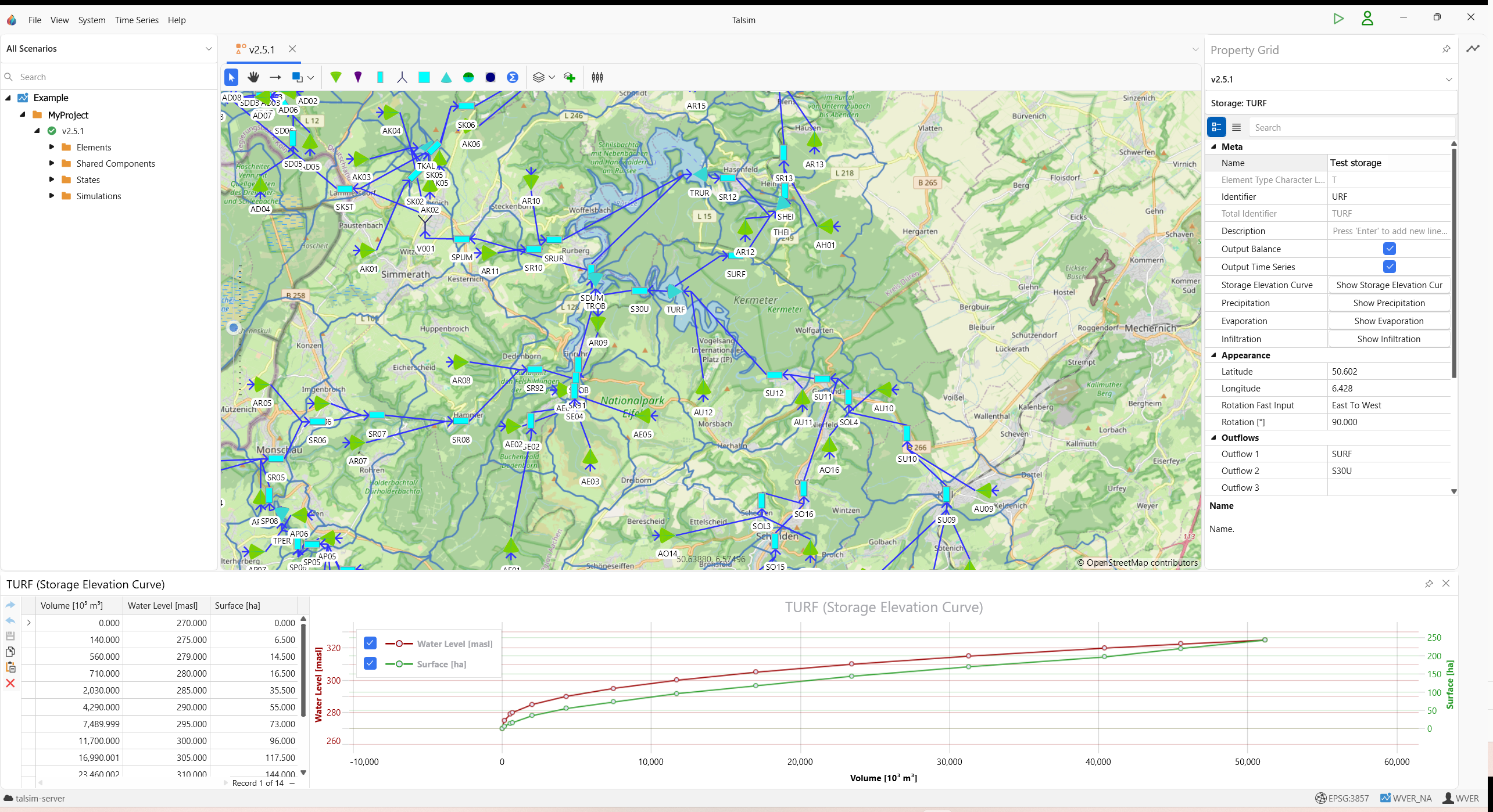
System plan of a river basin in Talsim5

Talsim

Talsim5 docs Documentation of the current version Manual covering system elements, operating rules, time series, database and simulation. →
QTalsim QGIS plugin Prepare geodata, build and check Talsim models in QGIS. Documentation GitHub →
talsimpy Python package Interface to Talsim4 data sets and Talsim5 databases: read, edit, run simulations, evaluate time series. Documentation GitHub PyPI →

More tools

BlueM.Wave Time series software Displaying, analyzing and importing and exporting time series. Documentation GitHub →
BlueM.Opt Optimization software Automated optimization, e.g. to calibrate Talsim models. Documentation GitHub →
Delft-FEWS Real-time forecasting Open platform for real-time water intelligence. Flexible, scalable, and trusted to manage and visualise critical data. An interface between Talsim and Delft-FEWS is available. →

Archive

Talsim4 wiki Archive of the previous version Talsim5 has been rebuilt; Talsim4 data sets can be migrated. The old documentation remains available. →

Contact

Questions about Talsim?
SYDRO Consult GmbH Mathildenplatz 8, 64283 Darmstadt, Germany +49 6151 70798-0 talsim@sydro.de
System plan of a river basin in Talsim5